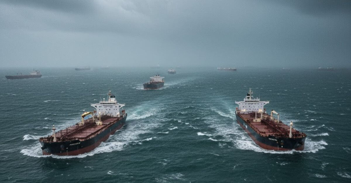
Mariners in Doha reported that their vessel positions were drifting toward Iran, raising suspicions of GPS interference. Analysts at Trident Risk Advisors said the signal changes matched earlier cases of deliberate navigation system manipulation in the area.

World-First Project Launched To Teach Autonomous Ships To Read Critical Navigation Data
October 8, 2025
Wagenborg Rushes To Refloat Grounded Cargo Ship Before Arctic Ice Forms
October 8, 2025

A major disruption to global navigation systems has been reported in the Gulf region, with ships experiencing severe GPS interference between October 3 and 7.
According to the UK Maritime Trade Operations (UKMTO), numerous vessels reported GNSS (Global Navigation Satellite System) issues in areas around Bandar-e-Pars, the Strait of Hormuz, and Port Sudan.
The interference has also caused widespread “AIS speed anomalies,” affecting vessel tracking data across the Gulf, Port Sudan, and the Suez Canal.
The scale of disruption marks a sharp rise compared to the previous week, with several operators struggling to maintain accurate navigation. The affected ships reportedly showed inconsistent positions and speeds on AIS (Automatic Identification System) maps, creating confusion for both mariners and monitoring authorities.
Amid the disruption, Qatar’s Ministry of Transport took the rare step of suspending maritime navigation nationwide on October 4, calling the situation “virtually unheard of.”
Although the suspension was partially lifted on Monday, daytime sailing remains limited to non-conventional vessels, while nighttime restrictions continue. LNG carriers and other commercial ships, however, appeared to be exempted, as tracking data indicated ongoing movements near Doha and Ras Laffan.
The Joint Maritime Information Center (JMIC) had earlier warned, in a May advisory, that vessels transiting through the Red Sea and Strait of Hormuz should remain vigilant against GNSS interference. It advised mariners not to rely solely on electronic navigation systems or autopilot in affected zones, urging the use of traditional navigation methods for cross-verification.
Experts are increasingly worried about rising GPS interference in global shipping lanes, from the Baltic Sea to the Persian Gulf. These disruptions are seen as possible “hybrid tactics” that could threaten important trade routes and energy supplies vital to global markets.
Authorities have encouraged all vessels within the UKMTO’s Voluntary Reporting Area to document any disruption to their electronic navigation systems. Ships experiencing issues are asked to report details, including location, time, and any photos or videos of affected equipment, to UKMTO as soon as possible.
Reference: UKMTO
Source: Maritime Shipping News


