
Historic 16th Century Cargo Ship Hull Washes Ashore After Powerful Gales Hit Norfolk Coast

OPEC Giant Saudi Arabia Boosts Oil Exports In Massive Contingency Plan Amid Possible US Strike On Iran
February 26, 2026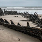

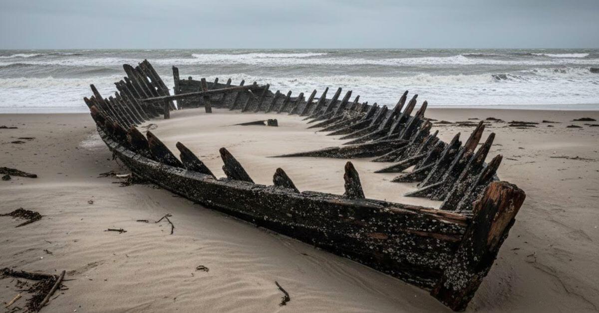
Powerful gales along England’s east coast have uncovered part of a 16th or 17th century cargo ship on Hemsby beach in Norfolk.
The wooden hull timbers, measuring about 20ft (7m), are believed to be part of a much larger vessel nearly 100ft (30m) long.
The wreckage was discovered about a week ago after strong winds lashed the coastline near Hemsby, close to Great Yarmouth.
The exposed section, covered in barnacles, is thought to have remained buried beneath sand for hundreds of years.
Retired fisherman Kenny Chaney, who has witnessed around 25 shipwrecks emerge along the Norfolk coastline over the years, believes the vessel likely served as a cargo ship.
Based on its estimated size of nearly 100ft (30m), he said it appeared too large to have been a fishing boat of that era.
On Sunday, Chaney assisted the local lifeboat service in moving the wreckage away from the immediate shoreline to prevent hazards to beachgoers.
The exposed hull reveals construction methods typical of the 16th and 17th centuries. The structure was assembled mainly with wooden pegs rather than metal fastenings.
Only one metal bolt appears to run through part of the keel, while the rest of the vessel shows minimal use of metal.
Such craftsmanship required high levels of skill. Even by modern standards, constructing a vessel of that scale with limited tools would demand experienced shipwrights.
Natalie Fairweather of the Time and Tide Museum in Great Yarmouth said identifying the vessel would be extremely difficult.
Although the museum maintains records of hundreds of shipwrecks along the Norfolk coast, there are no surviving documents that clearly match this wreck.
Without a nameplate or distinguishing markings, tracking its origin is unlikely. In the 16th and 17th centuries, maritime record-keeping was inconsistent, and many vessels lost to storms were never formally documented.
Before the development of sonar and modern navigation systems, sailors relied on basic charts and visual navigation. According to Fairweather, the constantly shifting sandbanks along the Norfolk coast made the region especially dangerous.
Yarmouth itself sits on a sand spit that changes shape over time. Large storms can quickly alter seabed contours. In such conditions, a ship could easily run aground. Once stranded on a sandbank, survival chances were low.
The North Sea has historically been a major trade route connecting England to continental Europe.
During the 16th and 17th centuries, merchant cargo vessels transported timber, grain, wool, and other commodities across these waters. Shipwrecks were common due to storms, poor charts, and limited navigational technology.
Reference: BBC
Source: Maritime Shipping News